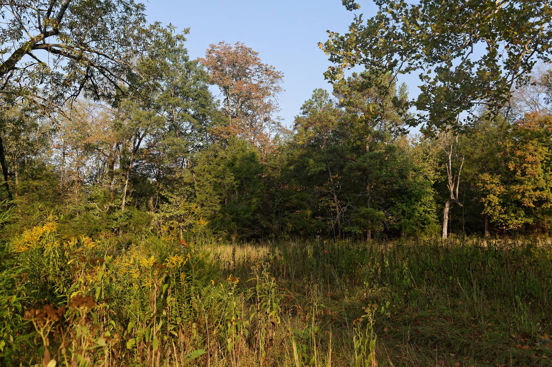
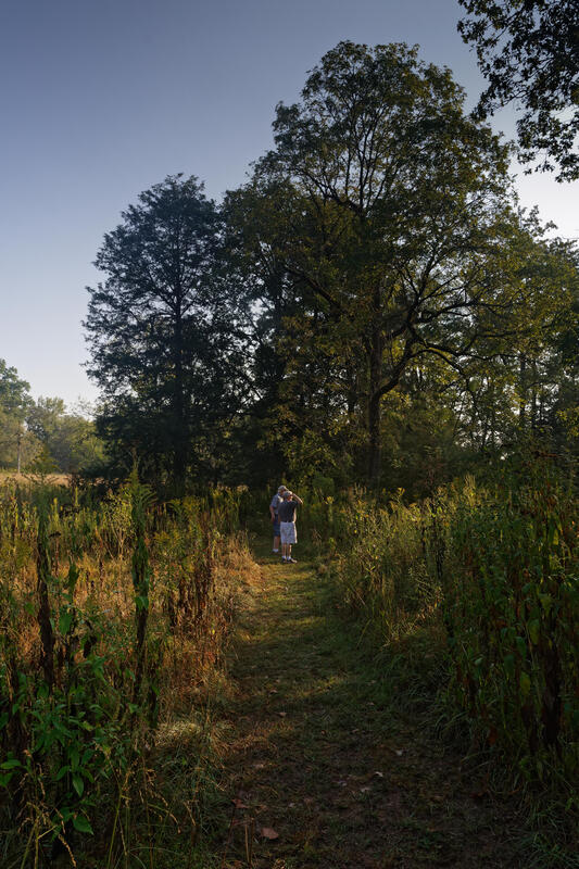
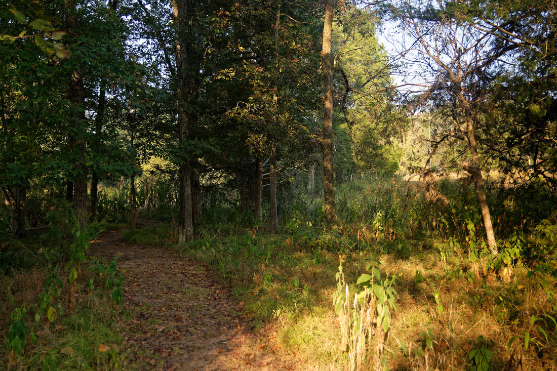
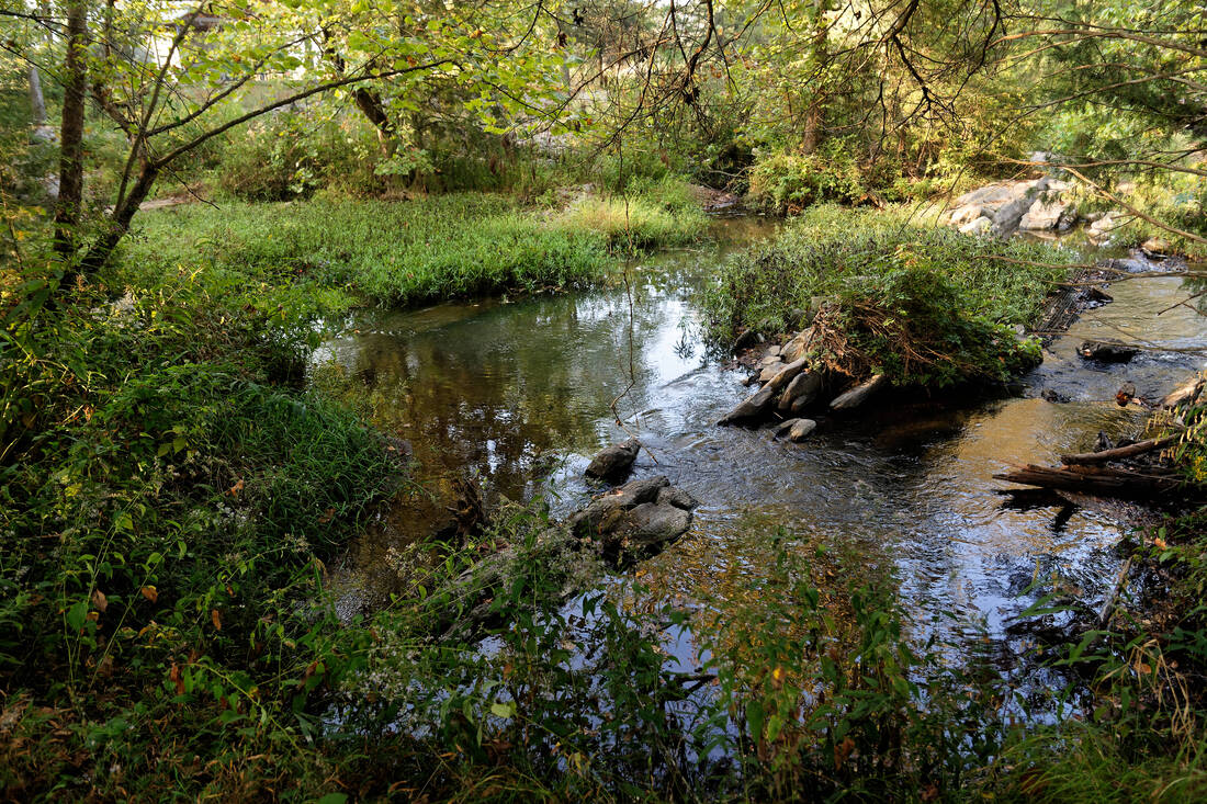
Whether you are traveling the trails of Shoal Creek Park or are sitting at home in an armchair, you can use Google Maps to find information about Shoal Creek Park's trails and places of interest within the park. You'll find placemarks that provide additional information, images, and descriptions.
Shoal Creek Park Foundation greatly appreciates the work of Terry Arnold in developing the information in Google Maps so the public may better explore Shoal Creek Park. You can also find more navigation information on Terry's site, including user instructions.
Shoal Creek Park Foundation greatly appreciates the work of Terry Arnold in developing the information in Google Maps so the public may better explore Shoal Creek Park. You can also find more navigation information on Terry's site, including user instructions.
Google Map Trail Links
- Betty Mahler Loop - 1.6 miles (Links - 0.33 miles)
- Blue Trail or Bike Trails- 1.55 miles (Links - 0.05 miles)
- Cemetery Trail - .021 miles
- Gold Trail or Northwest Pasture Loop- 0.9 miles (Links - 0.14)
- Orange Trail or East Loop - 1.1 miles (Links 0.89 miles)
- Purple Trail - 1.2 miles (Links 0.92 miles)