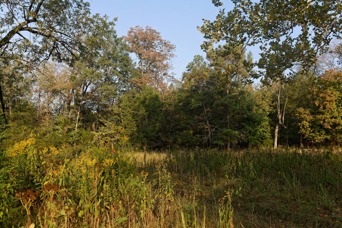
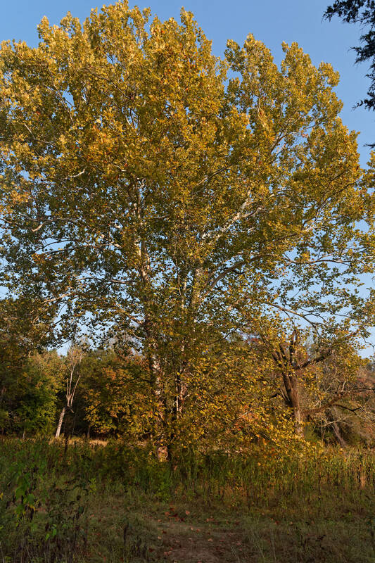
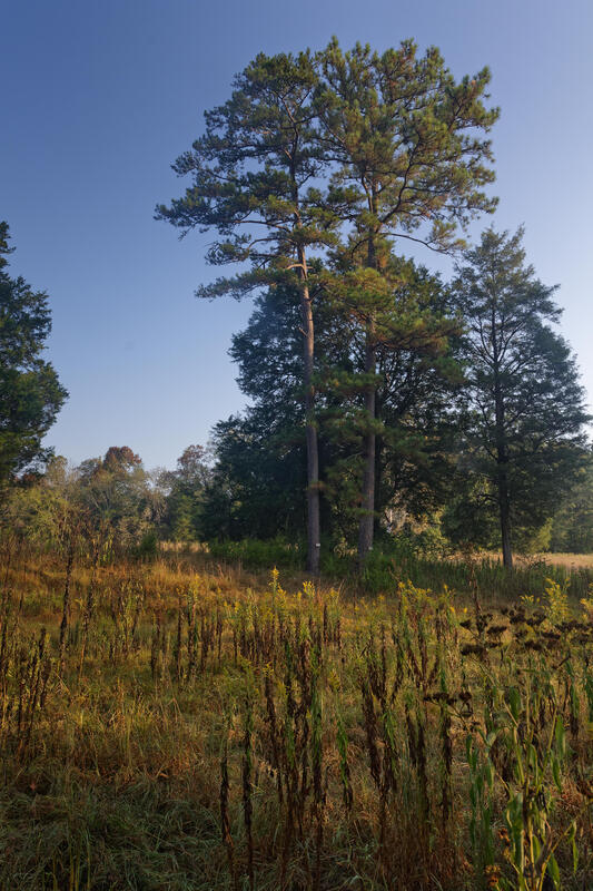
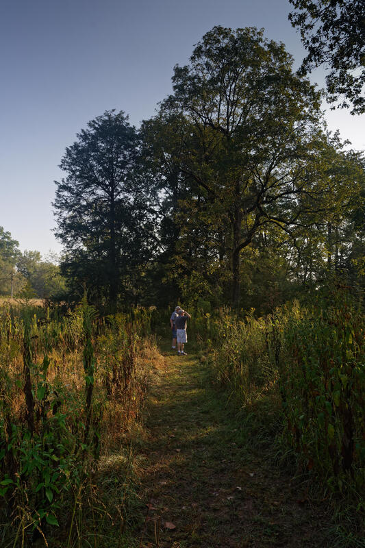
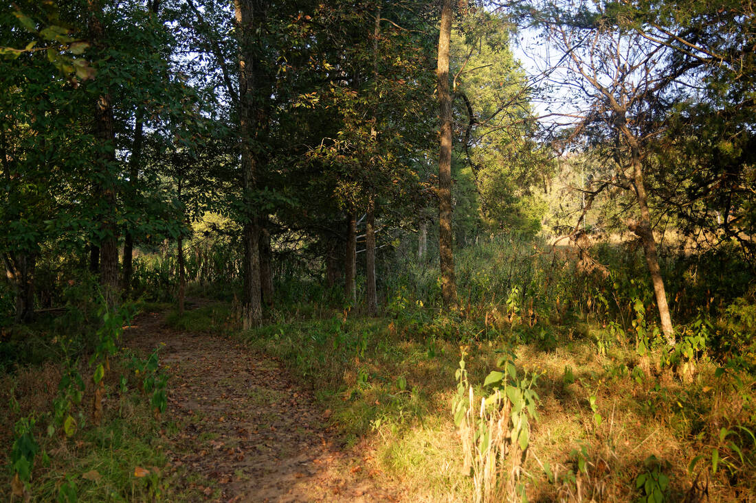
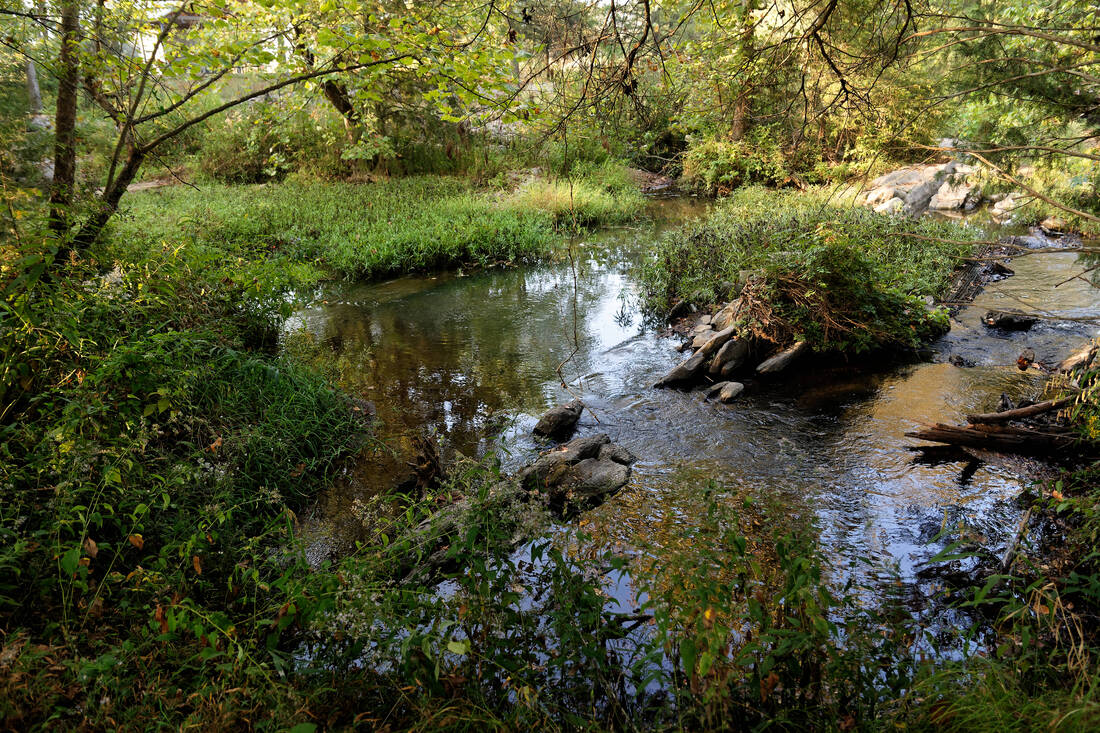
Whether you are traveling the trails of Shoal Creek Park or are sitting at home in an armchair, the Armchair and Hiker's Guide to Shoal Creek Park provides information about Shoal Creek Park's trails and places of interest within the park. Download the guide located below to view gps located trails and places of interest along the the trails. To view additional information on each place of interest select the stick pins, or placemarks; when opened they provide additional information, images, description, or both.
The City of Montevallo greatly appreciates the hard word of Terry Arnold in developing this guide so the public may better explore Shoal Creek Park. Many thanks to Terry and those who helped him in the creation of this Shoal Creek Park guide.
The City of Montevallo greatly appreciates the hard word of Terry Arnold in developing this guide so the public may better explore Shoal Creek Park. Many thanks to Terry and those who helped him in the creation of this Shoal Creek Park guide.
Installation and Use of Armchair and Hiker’s Guide for Shoal Creek Park
1. Install Google Earth on your computer or device (if not already installed), then download the file SCPark guide.kmz below.
2 .For Android, or P.C. platforms, click on SCPark guide.kmz. Google Earth will launch, load the Shoal Creek Guide, and zoom in to show Shoal Creek Park.
3. For Apple platforms, click on SCPark guide.kmz and then if Google Earth doesn’t load click on rectangular icon in upper right of screen, and from the several applications displayed, choose Google Earth to launch the guide.
4. For armchair exploring of the park, a laptop or desktop device will give the best display and formatting of the guide information but any device that will open Google Earth will open the guide.
5. Zooming in adds increasing detail to areas of interest
6. Several trails of different colors are presented by the guide.
7. Along each trail are stickpins colored to match the trail which, when selected, will provide descriptive, explanatory, or historical information about that location and often one or more images associated with the location.
8. Yellow stickpins locate and describe additional existing or possible future features of the park not associated directly with one of the colored trails.
9.If gps location is turned on when using the guide on the ground, the Google Earth feature “my location” (on top right of screen) can locate you on the map when it is selected.
10. As changes occur at Shoal Creek Park, revised .kmz file will be posted
| scpark_guide_72617_2__1_.kmz |